Seismic Exchange, Inc. is pleased to announce the release of the following 3D surveys that were recently acquired from Stephens Production Company and are currently available for licensing.
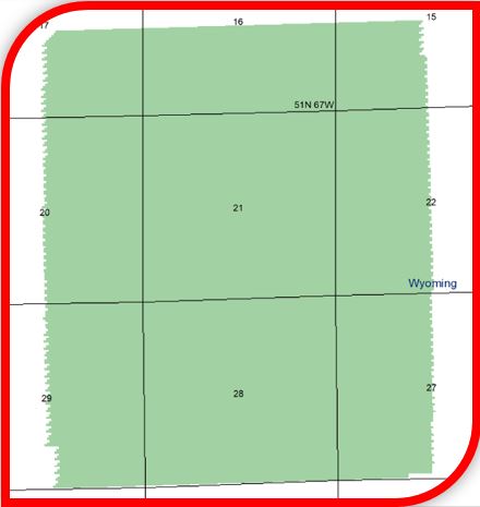
Avalon WY 3D (2018 Reprocessing) – 4.96 square miles/Crook County, Wyoming
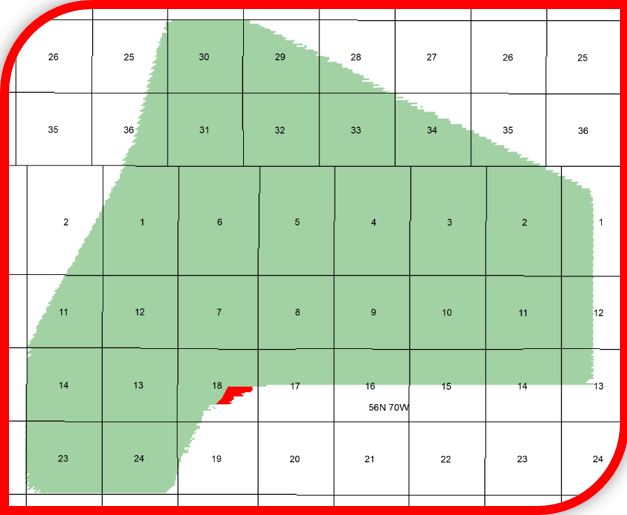
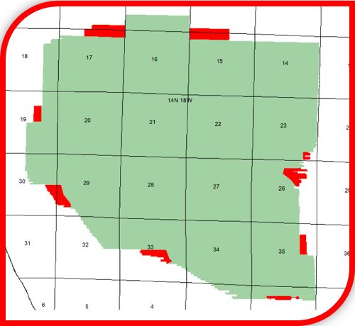
Belle Creek 3D (2018 Reprocessing) – 30.45 square miles/Campbell County, Wyoming
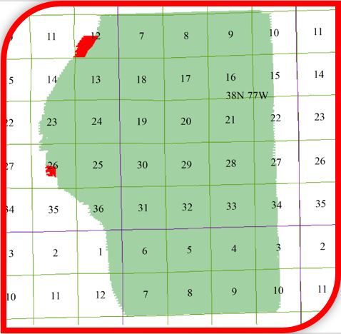
Ormsby 3D (2005 Reprocessing) – 30.68 square miles/Natrona County, Wyoming
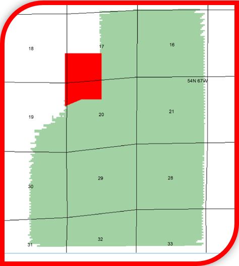
Ranchero 3D (2013 Original Processing) – 7.10 square miles/Crook County, Wyoming
Benona 3D (2003 Original Processing) – 15.22 square miles/Oceana County, Michigan
Waterdog 3D (2004 Original Processing) – 18.58 square miles/Oceana County, Michigan
Beiceigel Creek 3D (2003 Original Processing) – 9.04 square miles/McKenzie County, North Dakota
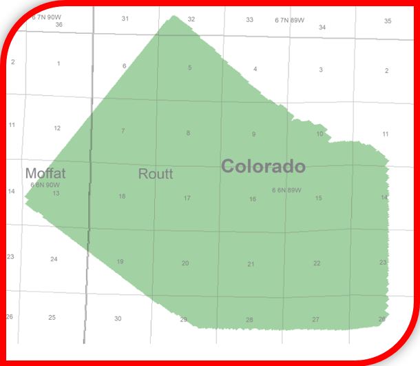
Breeze 3D (2004 Original Processing) – 17.27 square miles/Moffat, Routt Counties, Colorado
Temblor 3D (2018 Reprocessing) – 14.30 square miles/Fresno County, California
Vallecitos 3D (2016 Reprocessing) – 21.79 square miles/San Benito County, California
Additional information and shapefiles are available upon request or by visiting our interactive map at www.seismicexchange.com.