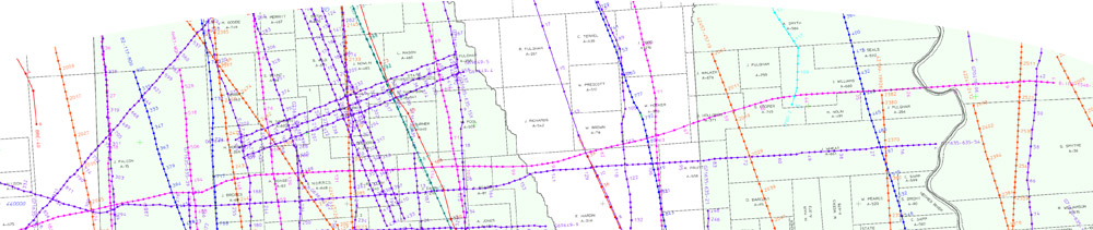
To request a detailed auto-generated map of 2D and/or 3D seismic data in your area of interest, please complete the fields below and click submit. An email will be sent to you as soon as possible with links to a PDF map, a shape file set of SEI proprietary 2D lines and detailed list of lines and parameters of the SEI proprietary lines on the map.
To determine the latitude-longitude of your center of interest, our interactive map can be used, or in Texas use the Texas Railroad Commission GIS Map Viewer (to locate surveys, abstracts and wells).
A map will be generated of all lines within 10 minutes (approximately 10 miles) of the Geocenter selected.