SEI News
New Release: Midway 3D Survey
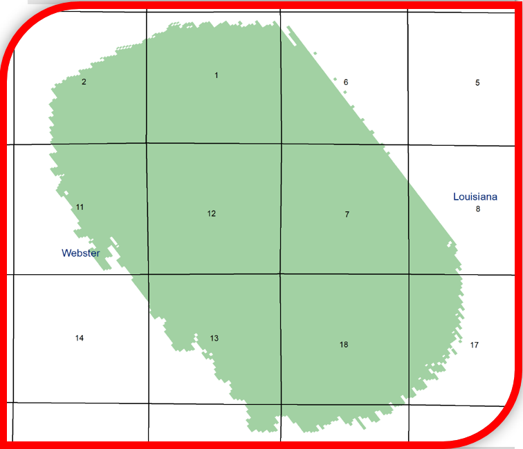
Seismic Exchange, Inc. is pleased to announce the release of the Midway 3D survey, which comprises 6.57 square miles located in Webster Parish, Louisiana that was recently acquired from Cross Bayou Exploration, LLC and is currently available for licensing.
Midway 3D Survey - 6.57 square miles
New Release: 3D Surveys previously owned by EnerVest Operating, LLC
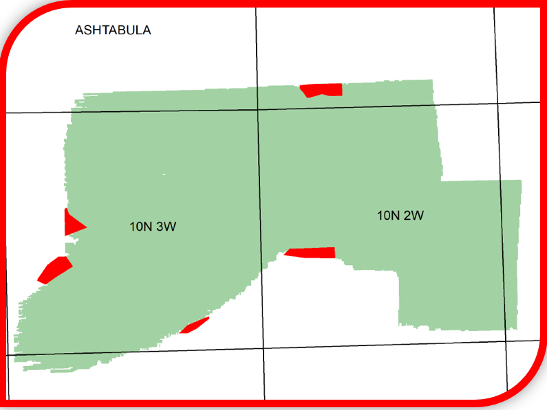
Seismic Exchange, Inc. is pleased to announce the release of the following 3D surveys located in Ohio that were recently acquired from EnerVest Operating, LLC, and are currently available for licensing.
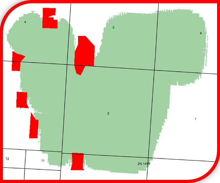
Austinburg 3D Survey – 6.85 square miles
Bakersville 3D Survey – 8.8 square miles
Beach City 3D Survey – 19.76 square miles
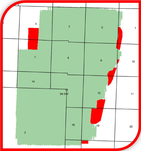
Gilmore - Gnadenhutten 3D Survey – 34.85 square miles
Harvard 3D Survey – 14.19 square miles

Lenox-Unigm 3D Survey – 38.31 square miles
Madison 3D Survey – 9.69 square miles
Monroe 3D Survey – 10.61 square miles
Raccoon Creek- Lobdell Creek 3D Survey – 19.05 square miles
Pleasant Valley 3D Survey – 15.16 square miles
Saybrook-Indian Creek 3D Survey – 29.65 square miles
South Lincoln 3D Survey – 1.29 square miles
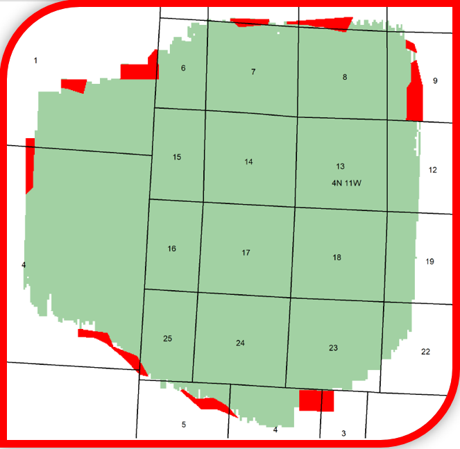
Wakatomika 3D Survey – 17.26 square miles
Additional information and shapefiles are available upon request or by visiting our interactive map at www.seismicexchange.com.
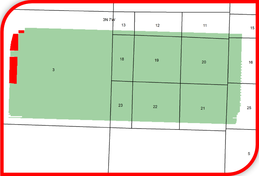
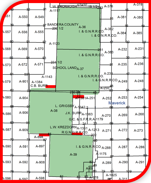
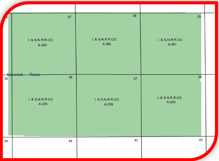
New Release: 3D Surveys previously owned by Roach Oil Company
Seismic Exchange, Inc. is pleased to announce the release of the following 3D surveys located in Maverick, Young & Throckmorton Counties, TX that were recently acquired from Roach Oil Company, and are currently available for licensing.
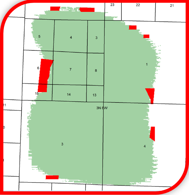
Equipo-Alkek 3D Survey
27.91 square miles
Saner Ranch 3D Survey
5.94 square miles
Daws-Young 3D Survey
3.71 square miles
Bruton 3D Survey
1.99 square miles
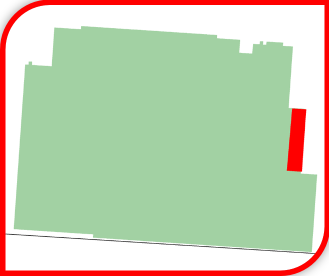
Turner-Carr 3D Survey
1.24 square miles
Additional information and shapefiles are available upon request or by visiting our interactive map at www.seismicexchange.com.
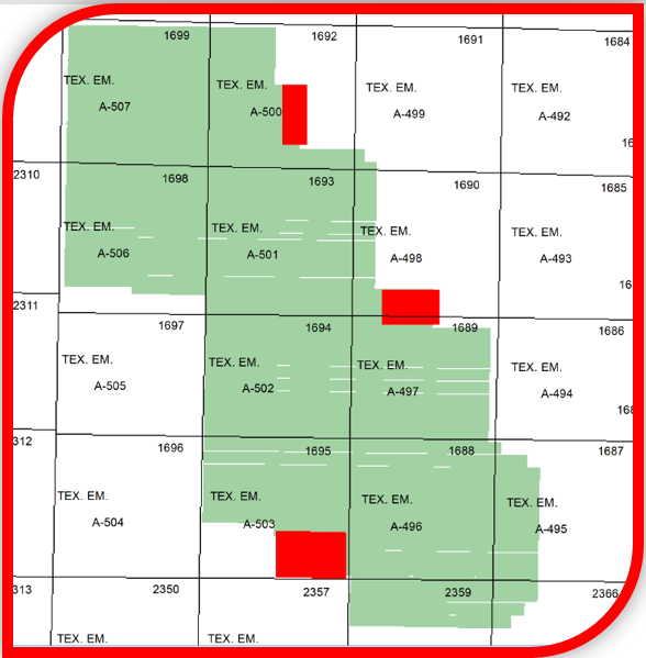
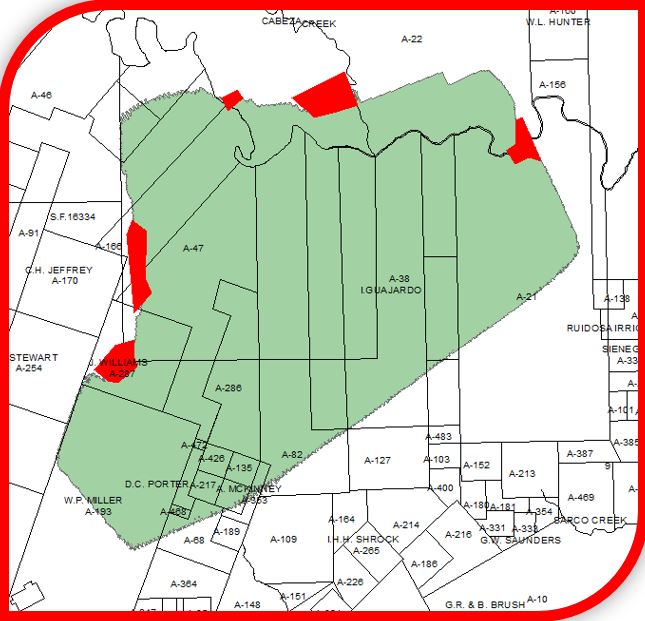
New Release: Fort Trinidad 3C 3D
Seismic Exchange, Inc. is pleased to announce the release of the Fort Trinidad 3C 3D survey, which comprises 28.12 square miles located in Madison and Houston Counties, TX that was recently acquired from Moran Exploration, LP and is currently available for licensing.
Fort Trinidad 3C 3D Survey
28.12 square miles in Madison and Houston Counties, Texas
Additional information and shapefiles are available upon request or by visiting our interactive map at www.seismicexchange.com
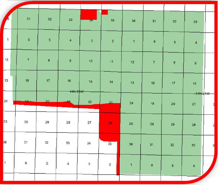
New Release: Southeast Jonah 3D
Seismic Exchange, Inc. is pleased to announce the release of the Southeast Jonah 3D survey located in Sublette County, WY that was recently acquired from Stephens Natural Resources, LLC and is currently available for licensing.
Southeast Jonah 3D Survey
142.88 square miles in Sublette County, Wyoming
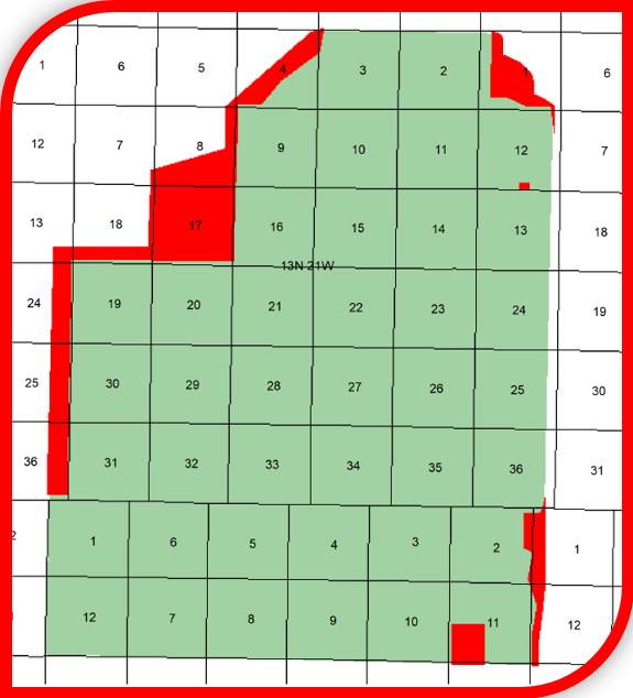
Additional information and shapefiles are available upon request or by visiting our interactive map at www.seismicexchange.com
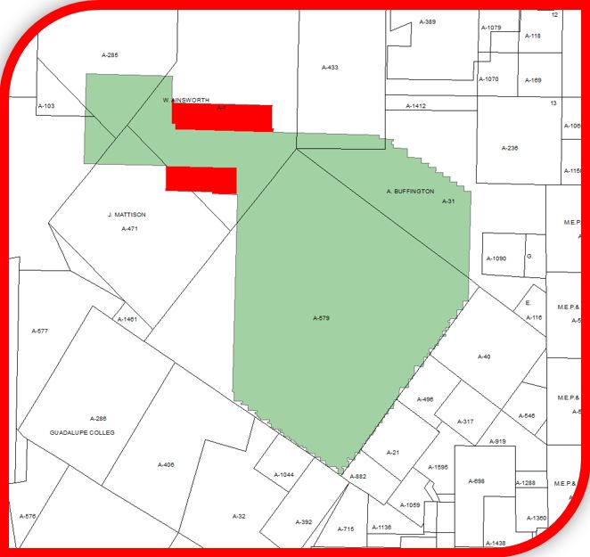
New Release: Caffrey Creek & Foss Extension 3D Surveys
Seismic Exchange, Inc. is pleased to announce the release of the following 3D surveys located in Roger Mills County, OK that were recently acquired from Flamingo Seismic Solutions, and are currently available for licensing.
*Please note that both surveys have a 2023 PSTM Processing.
Caffrey Creek 3D Survey
54.08 square miles in Roger Mills County, Oklahoma
Foss Extension 3D Survey
39.49 square miles in Roger Mills County, Oklahoma

Additional information and shapefiles are available upon request or by visiting our interactive map at www.seismicexchange.com.
Now Available: BEG Interpretation-Inner Texas Shelf
This document describes the licensable digital interpretation derived from 3D seismic data held by Seismic Exchange, Inc. Three-dimensional seismic data were licensed by the Bureau of Economic Geology (Gulf Coast Carbon Center) from SEI for regional interpretation that took place over the last decade between Corpus Christi and western Louisiana.
Click here: Description of BEG Interpretation Using SEI Data-2023-06-08.pdf
New Release: Crossroads 3D, Oasis 3D, and Burns Ranch 3D Surveys
78.2 Sq. Miles, TX
Seismic Exchange, Inc. is pleased to announce the release of the following 3D surveys that were recently acquired from Ventex Operating Corp., and are currently available for licensing.
Crossroads 3D
9.69 square miles located in Montague County, TX
Oasis 3D
16.54 square miles in Montague County, TX
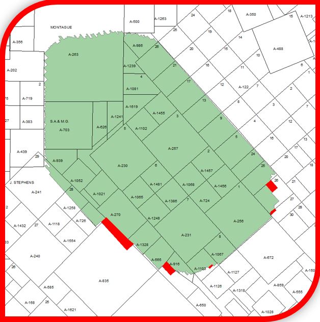
Burns Ranch 3D
45.97 square miles located in Goliad County, TX
Shapefiles are available upon request, or by visiting our interactive webmap at www.seismicexchange.com.
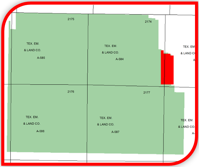
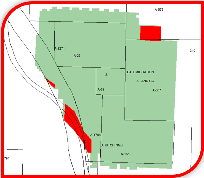
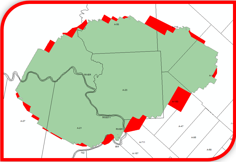
SEI Acquistion of CGG US Land 3D Data
Click on the links below to see the additional data now available in each of the respective areas.